
National
Cambodia Condemns Thai Satellite Map Claims, Warns of Border Escalation
PHNOM PENH, Cambodia (Sept.26, 2025) — Cambodian officials have denounced Thailand’s release of satellite imagery and maps allegedly showing official boundary lines in disputed areas, warning the move could undermine ongoing diplomatic efforts and inflame tensions along the Cambodia-Thailand border.
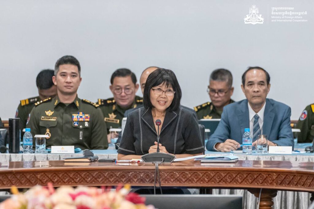
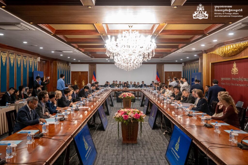
Speaking Thursday to members of the diplomatic corps and UN agencies, Acting Foreign Minister Eat Sophea criticized Thai military and provincial authorities—including the Sa Kaeo Provincial Administration and the Royal Thai Army’s deputy spokesperson—for publicizing what she called inaccurate and provocative materials.
“These satellite images and maps, especially those referencing Prey Chan and Chouk Chey villages in Banteay Meanchey Province, create a misleading impression of the boundary situation,” Sophea said. “Some presentations misuse bilateral documents to justify the unlawful expulsion of Cambodian civilians from land they’ve inhabited for decades.”
She cited a September 19 post on the Royal Thai Army’s official Facebook page, which claimed Cambodian and Thai survey leaders had signed off on boundary recognition between Border Pillars 42 and 43. Sophea refuted the claim, noting that even Thailand’s own unofficial maps show Thai civilians occupying land on Cambodia’s side.
She urged both sides to resolve disputes through the Joint Boundary Commission and reaffirmed Cambodia’s commitment to peaceful resolution under the 2000 border demarcation treaty.










-
 National2 months ago
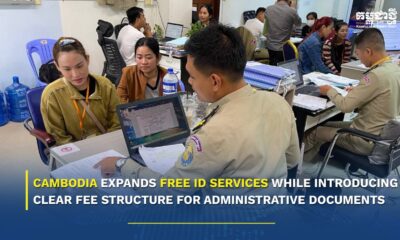
Cambodia Expands Free ID Services While Introducing Clear Fee Structure for Administrative Documents
-
 National3 weeks ago
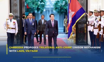
Cambodia proposes trilateral anti‑crime liaison mechanism with Laos, Vietnam
-

 National3 weeks ago
PM Hun Manet to visit China as trade surges and investment deepens
-

 National2 weeks ago
Cambodia says four soldiers injured in border blast, investigation launched
-

 National1 month ago
Samdech Techo Hun Sen Says Cambodia Can Meet Defence Needs Through Domestic Production
-

 National2 weeks ago
Cambodia opens new distribution hub to expand market access for local businesses
-
 Opinion2 months ago
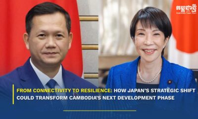
From Connectivity to Resilience: How Japan’s Strategic Shift Could Transform Cambodia’s Next Development Phase
-
 Economy2 months ago
Cambodia Welcomes 1 Million Tourists in Q1, But Arrivals Fall Sharply Amid Regional Pressures