National
Cambodia and Thailand Begin Drone Survey for Border Mapping
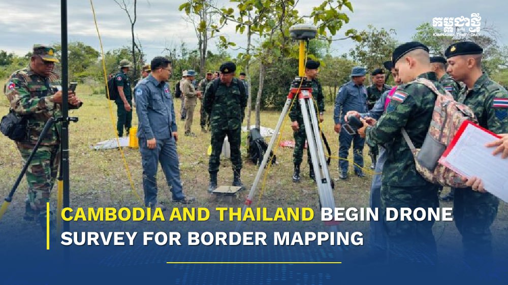
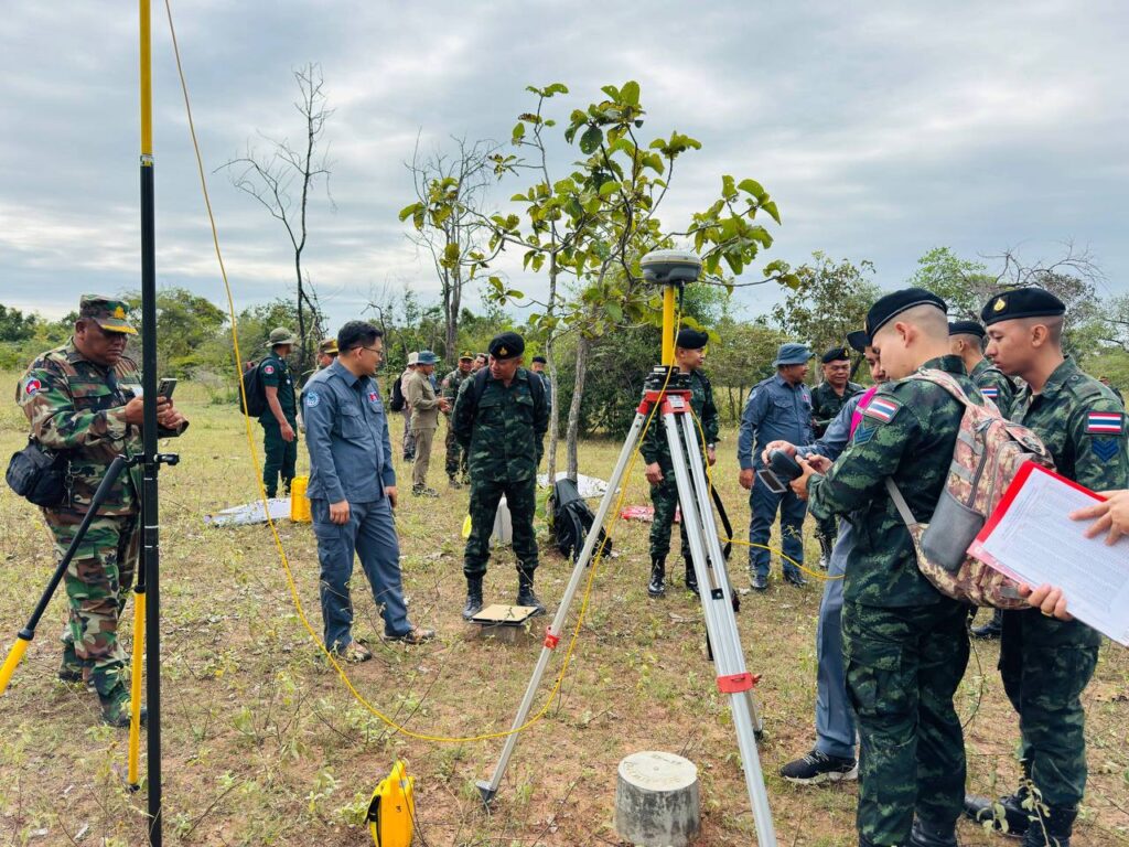
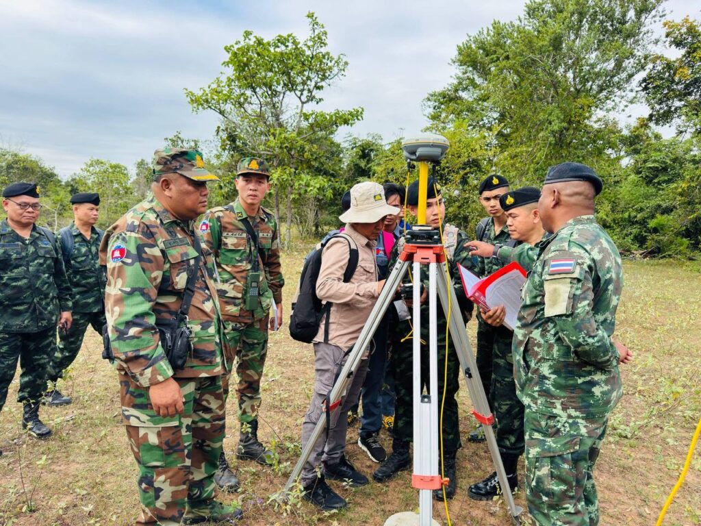
PHNOM PENH, Cambodia (Nov. 20, 2025) — A joint Cambodia-Thailand boundary survey team has begun using drones to produce photographic maps of the border area between markers 42 and 47, which lie between Cambodia’s Banteay Meanchey Province and Thailand’s Sa Kaeo Province.
The drone mapping work began Nov. 19, with survey teams from both countries coordinating operations in O’Beichan Commune, Ou Chrov District, and adjacent areas across the border in Thailand. Once imaging is completed, the teams plan to install temporary border posts along the stretch.
The operation followed a technical meeting Nov. 18 at the Poipet International Border Checkpoint, where the heads of both survey teams agreed on an implementation plan consistent with established procedures.
The installation of temporary markers between border points 42 and 47 is part of commitments made during the Cambodia-Thailand Joint Border Commission meeting held Oct. 21–22 in Chanthaburi. Both sides agreed to replace and restore several boundary pillars and accelerate demarcation efforts.
The Joint Technical Sub-Commission was tasked with replacing 15 boundary pillars at their original locations and specifications, as well as three submerged pillars at positions to be jointly determined.
The two countries also committed to revising the 2003 terms of reference for orthophoto map production, incorporating advanced technologies such as LiDAR to expedite survey work.
Officials said the temporary markers are for survey purposes only and do not affect the official international boundary. Civilian and military authorities have been instructed to ensure the safety of the joint survey team, avoid obstructing its work, and comply with landmine safety protocols under Article 3 of the 2000 Memorandum of Understanding.












-
 National2 months ago
Cambodia Expands Free ID Services While Introducing Clear Fee Structure for Administrative Documents
-
 National3 weeks ago
Cambodia proposes trilateral anti‑crime liaison mechanism with Laos, Vietnam
-

 National3 weeks ago
PM Hun Manet to visit China as trade surges and investment deepens
-

 National2 weeks ago
Cambodia says four soldiers injured in border blast, investigation launched
-

 National1 month ago
Samdech Techo Hun Sen Says Cambodia Can Meet Defence Needs Through Domestic Production
-

 National2 weeks ago
Cambodia opens new distribution hub to expand market access for local businesses
-

 Opinion2 months ago
From Connectivity to Resilience: How Japan’s Strategic Shift Could Transform Cambodia’s Next Development Phase
-

 Economy2 months ago
Cambodia Welcomes 1 Million Tourists in Q1, But Arrivals Fall Sharply Amid Regional Pressures